Geographic Information System (GIS) Services

At 3Dimensions Discovery, we harness the power of GIS to help our clients make informed decisions. Whether you’re planning a new development, managing natural resources, or implementing a disaster response strategy, our GIS services can provide the insights you need.

What is GIS

Transform the way you view the world with our Geographic Information System (GIS) services. GIS is a powerful tool that allows for the visualization, analysis, and interpretation of data in ways that reveal relationships, patterns, and trends in the form of maps, globes, reports, and charts.

Our team of GIS professionals is skilled in data collection, analysis, and visualization. We can create custom maps and reports tailored to your specific needs, providing you with a clear and comprehensive understanding of your data.

Discover the power of spatial analysis with 3Dimensions Discovery’s GIS services.
GIS Map

Let us handle
everything

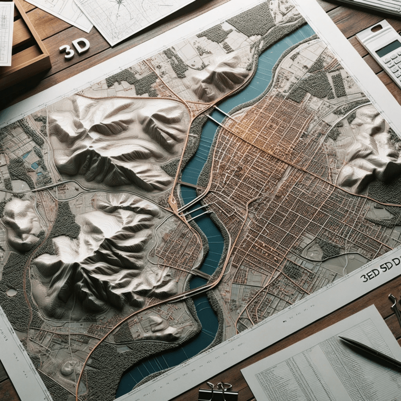
Focus on what matters to you while we handle your
3D Scanning, modeling, and architectural needs.

Planning

We discuss with clients and establish the requirements and objectives of the project.

Scan

We use high-performance 3D scanning equipment to capture the surrounding environment.

Process

We process the scanned data to create detailed 3D models and design plans.

Design

Tailored designs for your specific project needs.

Deliver

We deliver architectural models obtained through 3D scanning and engineering surveying.

en_USEnglish